Image
The Locally Managed Marine Area (LMMA) Network has launched an ambitious €4.4 million project in partnership with the Pacific Community (SPC), aiming to bring decades of learning from community-based marine management efforts to scale in the Pacific Islands.
The project is part of the broader Pacific-European Union (EU) Marine Partnership (PEUMP) programme funded by the EU and the government of Sweden and implemented by several regional and international organisations.
An interactive tool to support women, youth, community leaders on how to review their local fisheries management practices and knowledge was presented today to the Cultivating Equality: Advancing Gender Research in Agriculture and Food Systems Conference, a gathering of researchers from across different Pacific countries and CGIAR (Consultative Group on International Agricultural Research) centres.
Fish and Tips Video series
To address the growing need to provide alternative livelihood options to Pacific Island fishing communities, the Pacific Community has developed an information toolkit on nearshore fishing practices, focusing on the more resilient pelagic species.
This toolkit includes a series of training videos.
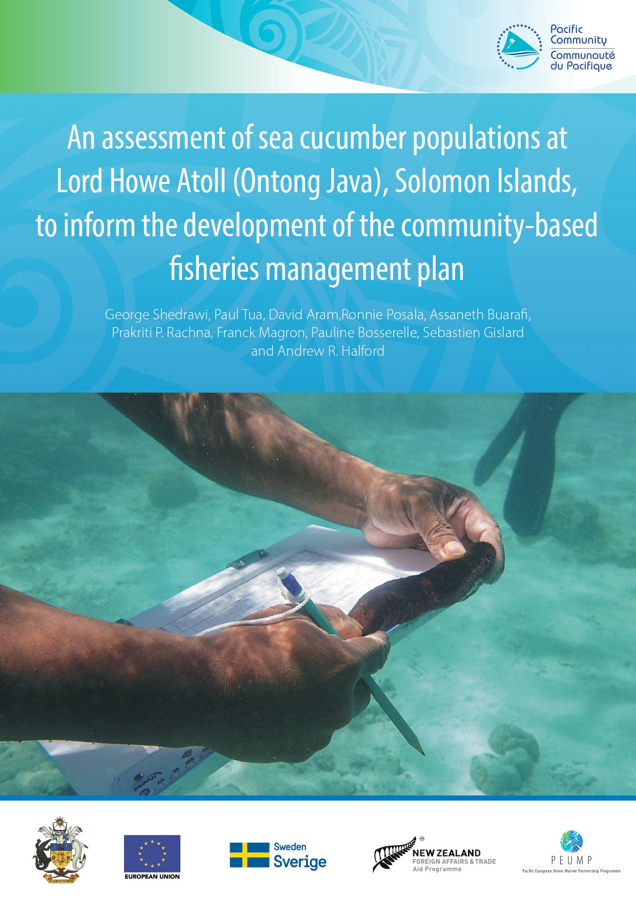
Invertebrate surveys allow us to understand the status of species populations, not just what is caught. Data, such as abundance and length, are used to calculate stock densities and track sizes and help develop management strategies for the sustainable use of fisheries resources.

Ladies and gentlemen, esteemed colleagues, and valued community members,
Welcome to our important gathering today, where we focus on the critical role of Community-Based Fisheries Management (CBFM) in sustaining the vibrant coastal fisheries that are a cornerstone of our regional identity and economy.
Honiara, Solomon Islands – Thirty national experts in the Solomon Islands gathered for a two- day workshop to review the first-ever zero-draft marine spatial plan for the Solomon Islands. The zero-draft map was produced by IUCN following a series of technical Geographical Information System (GIS) and prioritisation analysis with the inclusion of data from national and community consultations and input from experts over the last three years.