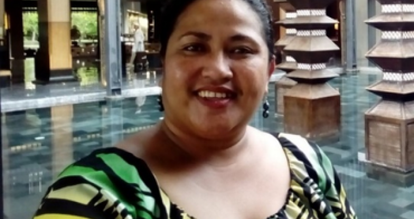
Name: Telesia Sila
Job Title: Principal Mapping Officer
Organisation: Ministry of Natural Resources and Environment (MNRE), Government of Samoa.
Country: Samoa
How are you currently using what you learnt during the work attachment?
I have been using the skills and knowledge learnt during the attachment to carry out ongoing progressive technical work for Samoa’s Maritime Boundaries. I did a presentation to our National Maritime Committee, the Minister, management team and staff of MNRE. The presentations served to build these stakeholders’ awareness and learning regarding the status of our maritime boundaries. This included sharing about where our boundaries with our four neighboring states are, the type of dataset information gathered and it’s exchange with these four neighboring countries. Also the sharing of the data and working together with our Marine Division for the managing and protecting marine and coastal ecosystems.
Have you done anything differently in your work as a result of the work attachment?
YES, working together with our Marine Division, for the managing and protecting of our marine and coastal ecosystem with our EEZ, the data has been shared with them. I also organized the first GIS training held in our country for our Marine Spatial Planning Project, this training was facilitated by GIS Technical Officer from IUCN.
What positive outcomes are you seeing as a result of what you are doing?
I see that our National Maritime Committee, MNRE Management level and our division are aware of our maritime boundaries with our four neighboring countries. Some of them now understand how maritime boundaries are defined. They also see how different players such as GIS technical and legal experts play a role by providing advices regarding our maritime boundaries. I see that they have come to appreciate the role of GIS for the delimitation of our maritime boundaries, and how important to have accurate geospatial dataset. The accuracy of the datasets are not only important for GIS people but also for the lawyers in this field.